
Transform your GIS experience with our intuitive platform. Seamlessly import data, automate your analyses, and create powerful spatial applications for the web—all in one place.
Get Started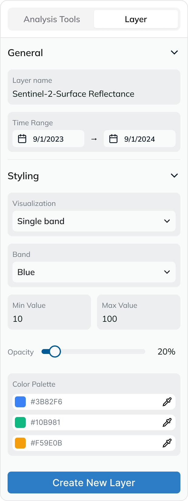
Everything you need to analyze, monitor, and manage your geospatial data in one unified, high-performance platform.
Keep track of vast areas with real-time satellite imagery and change detection algorithms.
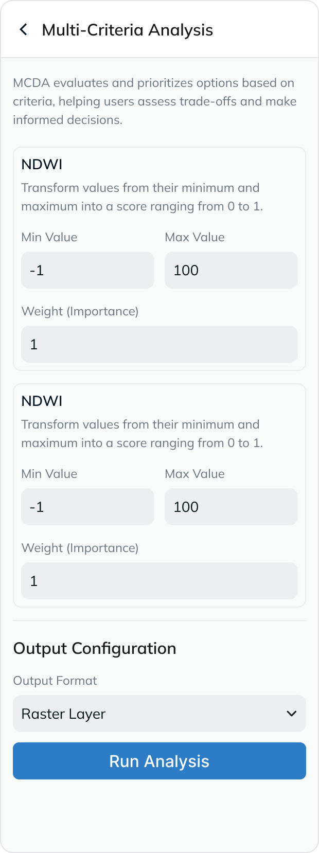
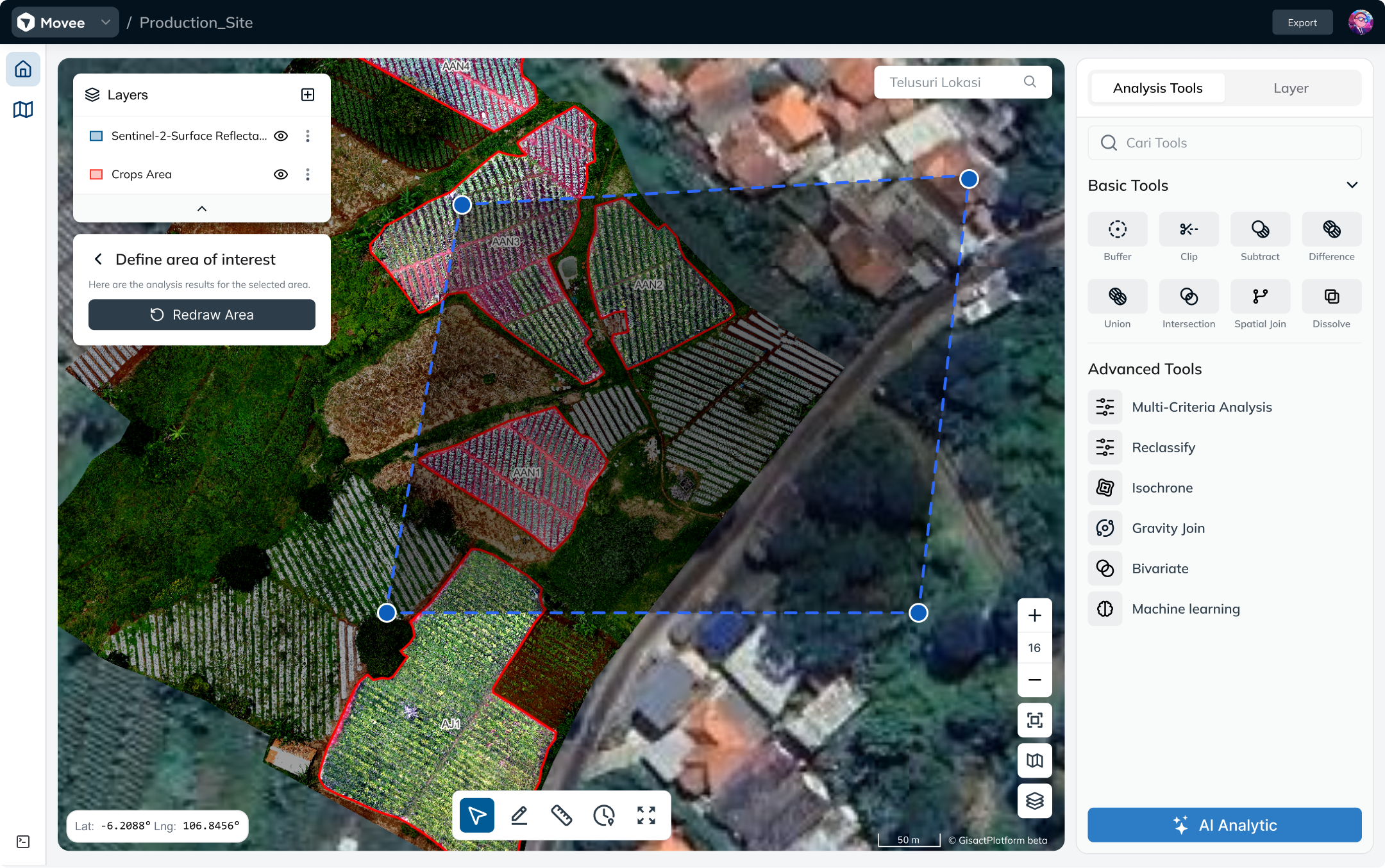
Perform complex geospatial operations like buffering, intersection, and proximity analysis directly in the browser.
Upload your data in any format—GeoJSON, Shapefile, KML, or CSV—and visualize it instantly.
Stack unlimited raster and vector layers to discover hidden patterns and correlations in your data.
Set up triggers and alerts based on spatial events to automate your monitoring workflows.
Generate dynamic reports and dashboards that tell the story behind your spatial data.
See how organizations are using Movee to solve complex spatial challenges.

Optimize city infrastructure and zoning with precise land-use data and population density models.

Track deforestation, monitor biodiversity hotspots, and analyze climate impact using satellite imagery.

Optimize delivery routes and monitor asset locations in real-time to reduce costs and improve efficiency.
Choose the plan that fits your needs. No hidden fees.
Perfect for individuals and small projects.
For GIS professionals and growing teams.
Scalable solutions for large organizations.